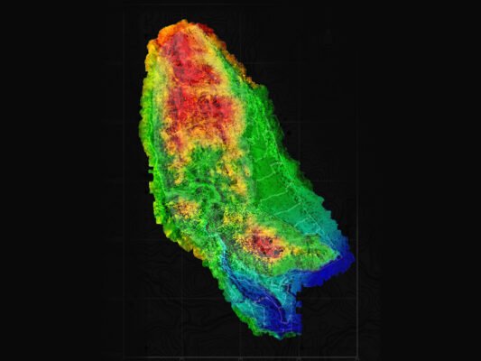
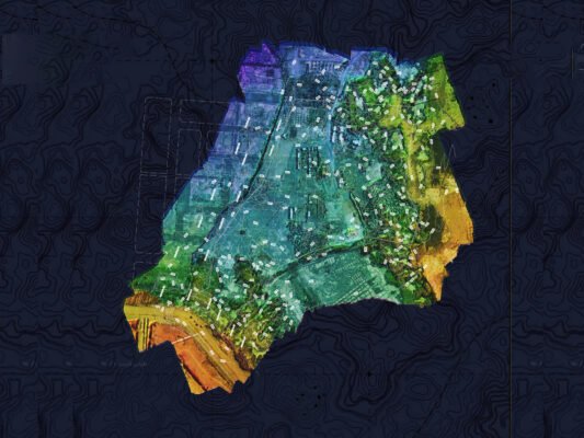
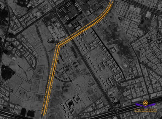
Geospatial Information Project 01
Project Location:
Kingdom of Saudi Arabia
Project Description:
National Cover Project (160 points across the Kingdom)
Project Duration:
3 Months
Primary Services:
Establishment of Geodetic control points network for national coverage maps
Client:
General Authority for Survey
and Geospatial Information
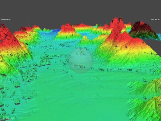
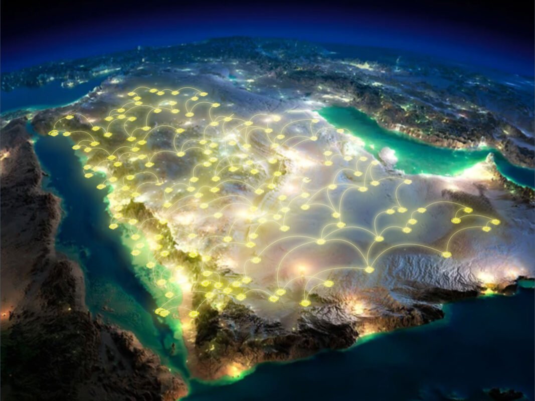
Completed Projects: Geodetic Control Points Network Services
We have successfully delivered Geodetic Control Points Network Services to clients across various industries, ensuring high-precision reference systems for accurate surveying, mapping, and construction projects. Our expertise in establishing and maintaining geodetic control networks supports critical infrastructure development, land management, and engineering applications.
1. Establishment of Geodetic Control Networks
Our team specializes in setting up high-accuracy geodetic control networks, providing a stable reference framework for surveying and mapping projects. Using GNSS, total stations, and high-precision leveling techniques, we establish control points that serve as benchmarks for:
- Land surveying and cadastral mapping
- Infrastructure and construction projects
- Engineering design and planning
- Large-scale topographic and geospatial studies
2. Geodetic Control Network Maintenance & Densification
We ensure the reliability and longevity of geodetic networks by providing:
- Verification and recalibration of existing control points
- Densification of control networks for enhanced accuracy in large-scale projects
- Integration with national and global geodetic reference systems
Commitment to Precision & Reliability
With a focus on accuracy, stability, and long-term usability, we tailor our geodetic control point solutions to meet project-specific requirements. Our services have been instrumental in supporting government agencies, engineering firms, construction companies, and land developers in achieving precise and reliable geospatial data for decision-making and project execution.
By leveraging cutting-edge technology and industry expertise, we continue to enhance spatial accuracy and geospatial infrastructure, empowering our clients with dependable survey control solutions.