Completed Projects: Precision Topographic Survey & Stakeout Services for 60 Different Sites of Medina Provinces
We take pride in delivering high-accuracy Detailed Topographic Survey and Stakeout Services to support our clients in infrastructure development, land planning, and construction projects. Our expertise ensures precise geospatial data collection and accurate on-site implementation, helping clients achieve project success with efficiency and confidence.

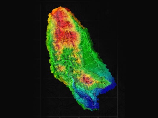
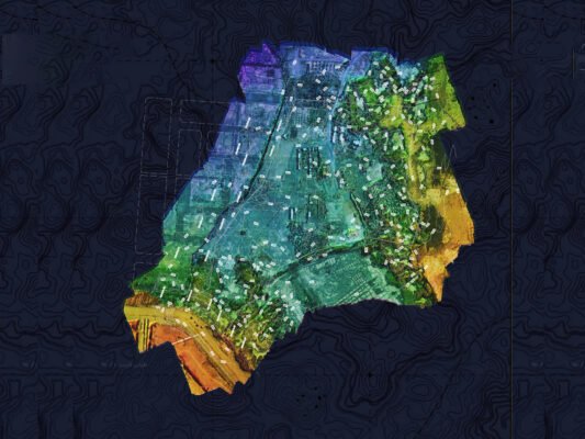
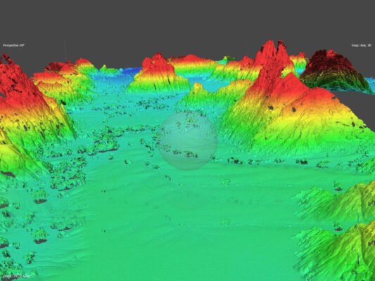
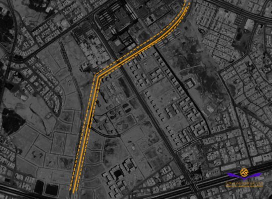
1. Detailed Topographic Survey
Our topographic survey services provide comprehensive terrain analysis, capturing land features, elevation changes, and man-made structures with high precision. Utilizing advanced surveying equipment and GIS technology, we generate accurate contour maps, 3D terrain models, and site layouts that support:
- Engineering design and feasibility studies
- Land development and planning
- Infrastructure and utility mapping
- Environmental assessments
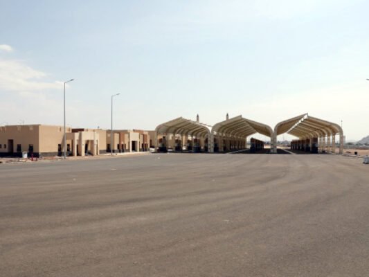
2. Stakeout Services
Our stakeout services ensure that design plans are accurately transferred to the ground, guiding construction teams with precise reference points for foundations, roads, utilities, and structures. We specialize in:
- Construction layout and positioning
- Utility and road alignment
- Earthwork and grading stakeout
- Boundary and property line verification
Commitment to Accuracy & Client Success
Every project we complete is executed with state-of-the-art technology and industry expertise, ensuring our clients receive reliable, high-precision data for decision-making and project execution. Our topographic survey and stakeout services have been instrumental in industries such as real estate development, infrastructure, construction, and environmental management.
By delivering accuracy, efficiency, and reliability, we continue to support our clients in building a better and more sustainable future.