DAN Company Project 2302
Project Location:
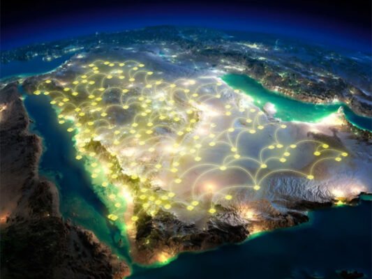
Hail, Saudi Arabia
Project Description:
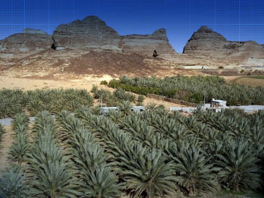
KRS Team provided survey services to three (3) different sites: Tuwarin [1], Mukahayam [2] & Alzulzul [3]
Project Duration:
TBA
Primary Services:
Mapping, Modeling and Digitizin
Client:
ACWA Power
Precision Geospatial Solutions for DAN Company Project
Our expertise in Detailed Topographic Surveying, Contouring, Mapping & Modeling, and Photogrammetry has enabled us to successfully deliver high-precision geospatial solutions to various clients across multiple industries.
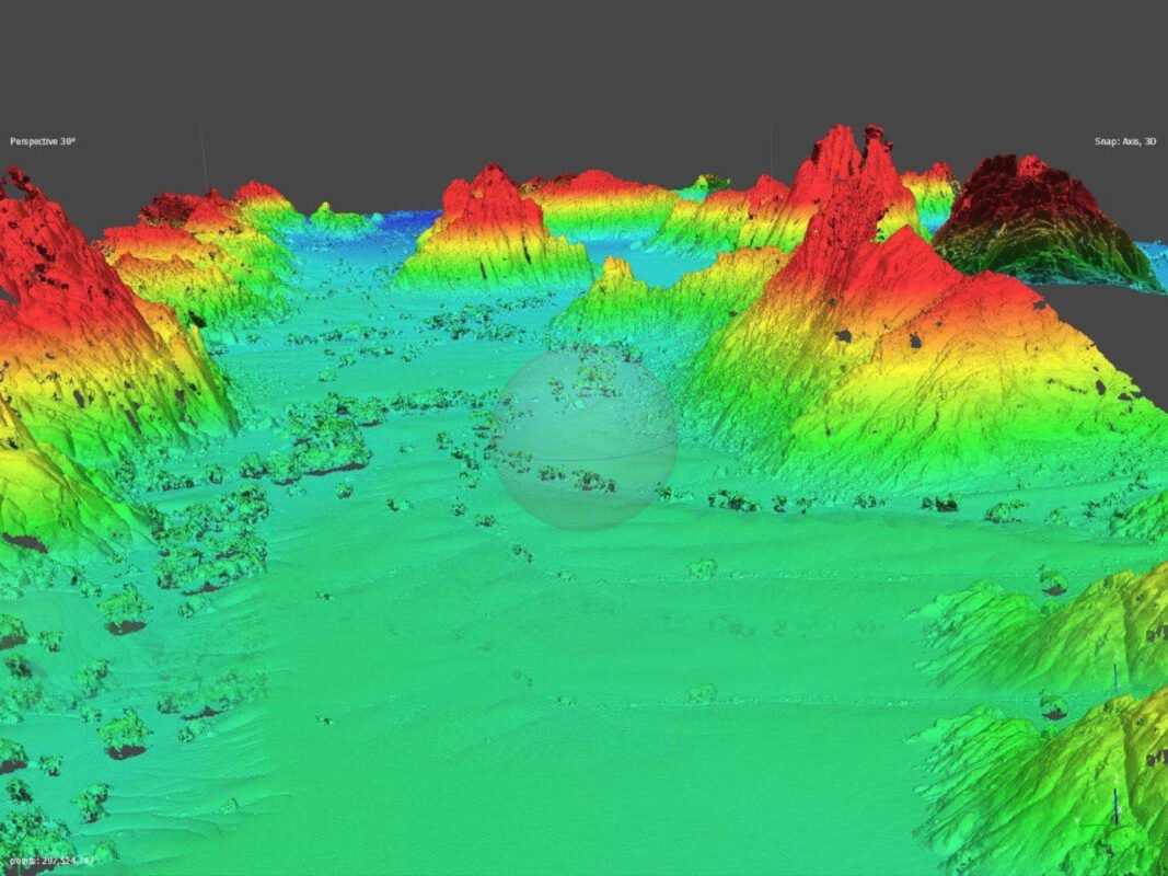
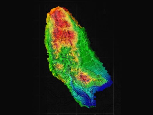
1. Detailed Topographic Survey & Contouring
We have executed numerous projects involving high-accuracy topographic surveys, capturing precise elevation data and terrain features. Our contouring services provide detailed relief representation, aiding in land development, infrastructure planning, and environmental assessments.
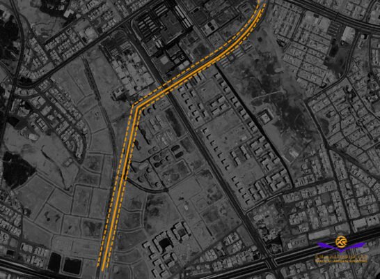
2. Mapping & 3D Modeling
Our team has successfully created accurate geospatial maps and 3D models using cutting-edge technology. These models enhance project visualization, improve decision-making, and support engineering and construction workflows.
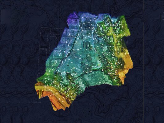
3. Photogrammetry: Orthomosaic & Digital Terrain Model (DTM) Services
Utilizing drone and aerial imaging, we have delivered high-resolution orthomosaic maps that offer true-to-scale, distortion-free representations of project sites. Additionally, our DTM services provide accurate ground surface data, critical for hydrological studies, land-use planning, and excavation projects.
Each project we undertake is tailored to meet client-specific requirements, ensuring the highest level of accuracy and efficiency. Our solutions empower industries such as construction, mining, urban planning, and environmental management with reliable geospatial insights.