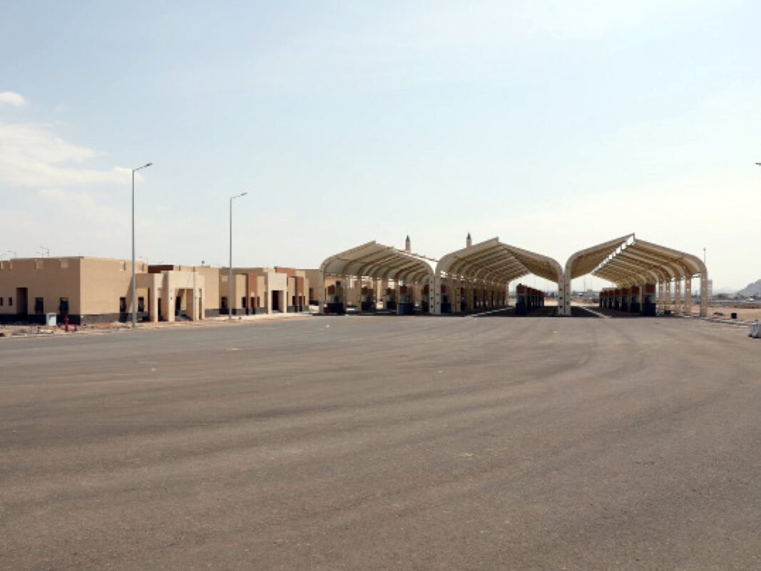
Completed Projects: Precision in Topographic Survey & Stakeout Services for Ministry of Hajj
We have successfully delivered Detailed Topographic Survey and Stakeout Services to a wide range of clients, ensuring accuracy, efficiency, and reliability in every project. Our expertise in geospatial data collection and precision stakeout has been instrumental in supporting infrastructure development, land planning, and construction projects.
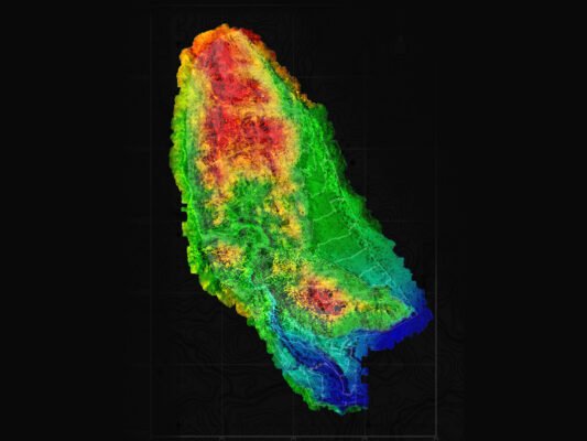
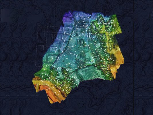
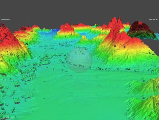
1. Detailed Topographic Survey
Our topographic survey services provide highly accurate terrain data, capturing land features, natural elevations, and man-made structures. Using advanced survey equipment and GIS technology, we deliver comprehensive terrain models, contour maps, and elevation data essential for engineering design, site analysis, and development planning.
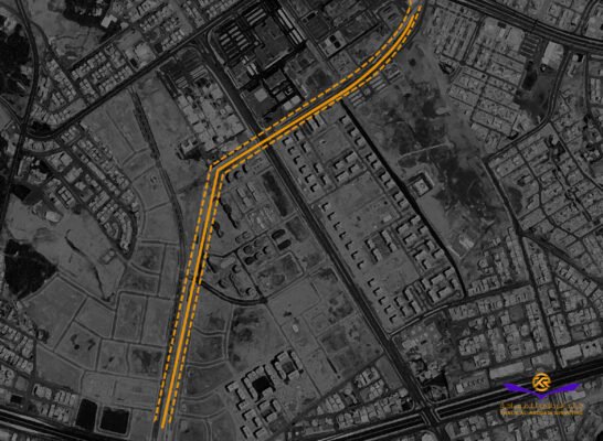
2. Stakeout Services
We offer precision stakeout services, translating design plans into real-world coordinates. Our team ensures that construction elements such as roads, utilities, and buildings are positioned with absolute accuracy according to project specifications. These services help prevent costly errors, optimize construction workflows, and improve project efficiency.
Delivering Accuracy & Efficiency
Through a combination of cutting-edge technology, industry expertise, and a client-centric approach, we have successfully completed projects in various sectors, including construction, infrastructure, land development, and environmental planning.
Our commitment to precision ensures that our clients receive reliable geospatial solutions that drive informed decision-making and project success.