Completed Projects: Delivering High-Precision Geospatial Solutions to Private Client Project
We take pride in successfully delivering Detailed Topographic Surveying, Contouring, Mapping & Modeling, and Photogrammetry (Orthomosaic & DTM Services) to a diverse range of clients across various industries. Our expertise and cutting-edge technology ensure precision, efficiency, and data accuracy for informed decision-making.
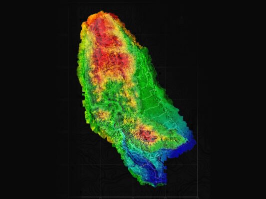
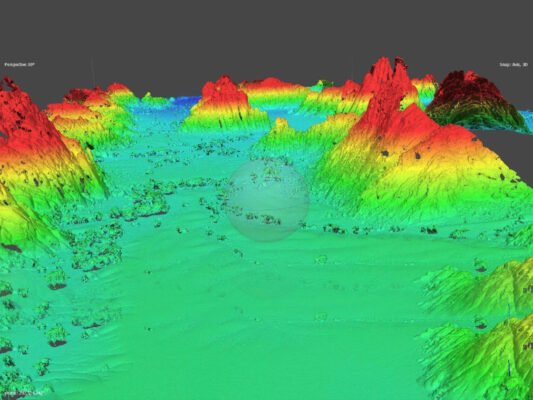
1. Detailed Topographic Survey & Contouring
Our topographic survey projects provide highly accurate terrain data, capturing land features, elevations, and natural or man-made structures. Through contouring, we generate detailed terrain models that support engineering designs, infrastructure planning, and land development projects.
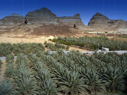
2. Mapping & 3D Modeling
We have successfully executed large-scale mapping and 3D modeling projects, creating digital representations of the terrain that enhance project visualization, construction planning, and site analysis. Our high-resolution models empower engineers, planners, and developers with actionable insights.
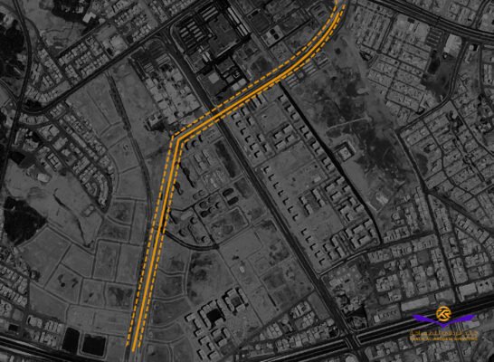
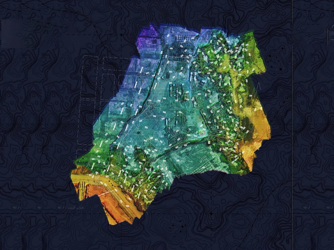
3. Photogrammetry: Orthomosaic & Digital Terrain Model (DTM) Services
Using advanced aerial imaging and drone technology, we provide high-resolution orthomosaic maps that deliver true-to-scale, distortion-free geospatial data. Our DTM services offer accurate ground surface modeling, critical for hydrological analysis, environmental assessments, and excavation planning.
Delivering Value Through Innovation & Precision
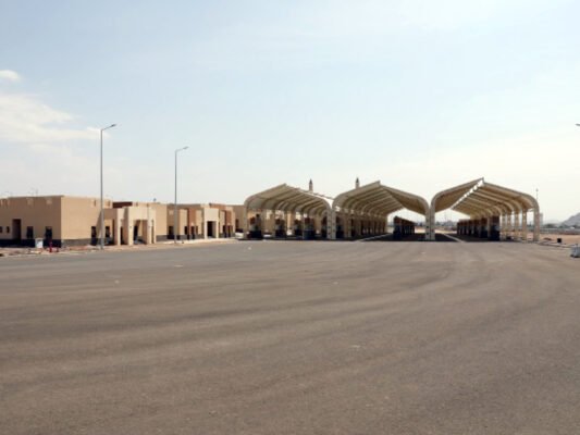
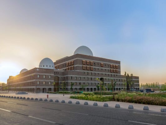
Every project we complete is tailored to meet client-specific needs, ensuring the highest level of accuracy and efficiency. Our geospatial solutions have been instrumental in industries such as construction, mining, urban planning, environmental management, and infrastructure development.
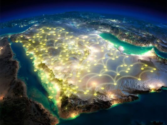
With our commitment to precision and innovation, we continue to support our clients in making data-driven decisions that shape the future of their projects.